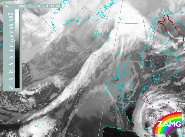
Isotachs 300 hPa:
The jet streak is parallel to the cloud band with the jet streak just behind the edge. This fits neatly to the concept of an Ana front.
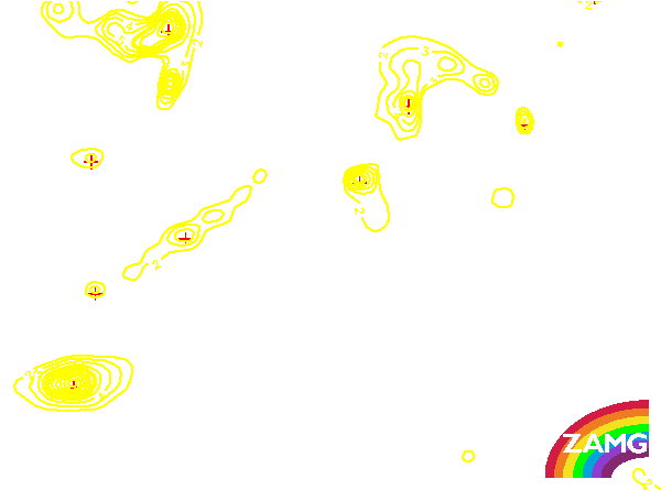
PVA 500 hPa:
The maximum of the PVA is on the rear edge of the frontal cloud band. The cloudiness belonging to an Upper Wave is behind it.
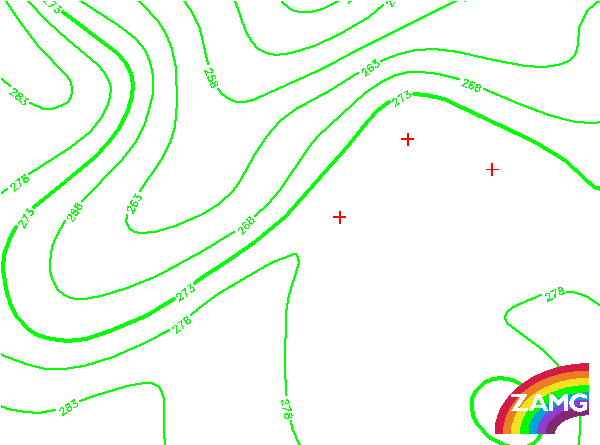
TFP:
The thermal frontal parameter (blue) fits well to the cloud band of the Cold Front. Note that the area of the Upper Wave is outside TFP.
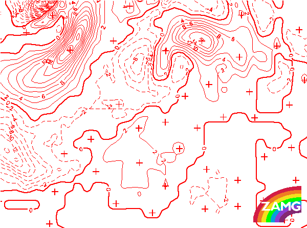
Equivalent thickness:
The high gradient of thickness is partly on the rear side of the cloud band, which would be more typical for a Kata Cold Front. This demonstrates the fact that often the types are not completely clear in every respect.
Temperature advection 1000/500 hPa:
In the Ana Cold Front the cloudiness is within cold advection. Further away fron the low pressure, where the front is more Kata type, it is within warm advection.