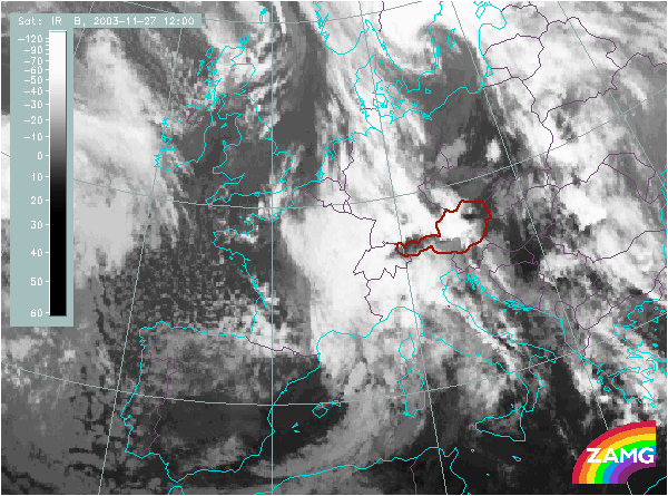
Does this actual case reflect the conceptual model well? Compare the ideal configuration!


Height Contours 1000 hPa:
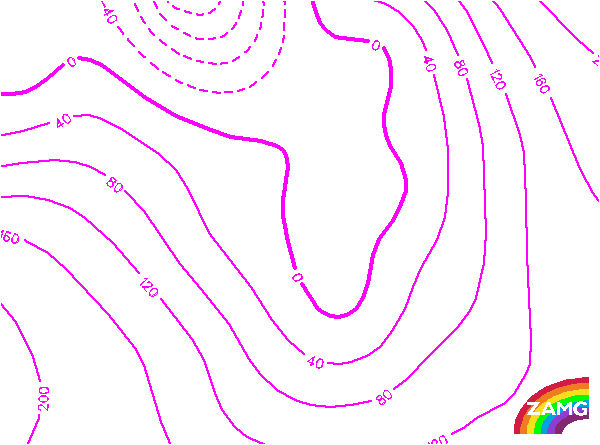
This is a very typical situation with a surface low in the western parts of the Alps, leading to a southwestern stream reaching the Alpine mountain chain perpendicularly.
This is a very typical situation with a surface low in the western parts of the Alps, leading to a southwestern stream reaching the Alpine mountain chain perpendicularly.
Height contours 500 hPa:
This is a very typical situation with an intensive upper level trough west of the Alps leading to a southward stream which reaches the Alps perpendicularly.
This is a very typical situation with an intensive upper level trough west of the Alps leading to a southward stream which reaches the Alps perpendicularly.
Wind Vectors 850 hPa:
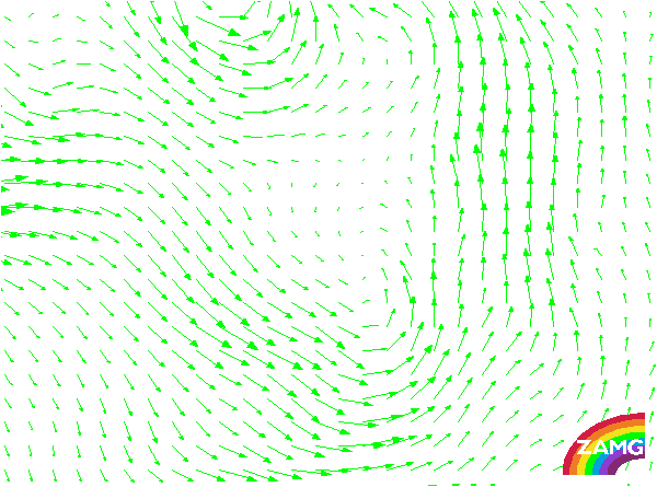
The wind vectors in a rather low layer show the distinct southward stream reaching the Alps perpendicularly.
The wind vectors in a rather low layer show the distinct southward stream reaching the Alps perpendicularly.
Wind Vectors 500 hPa:
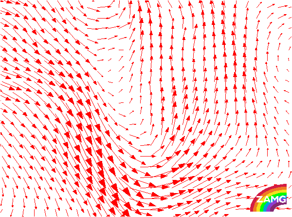
The orientation of the wind vectors at 500 hPa shows the stream perpendicular to the Alpine mountain chain. It also is in accordance with the orientation of the high Lee Cloudiness.
The orientation of the wind vectors at 500 hPa shows the stream perpendicular to the Alpine mountain chain. It also is in accordance with the orientation of the high Lee Cloudiness.
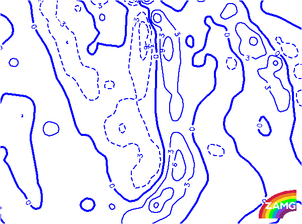
TFP:
Very typically, the Thermal Front Parameter shows that the front has just reached the West Alps, a location which is representative for the climax of the Foehn situation ahead of the front.
Very typically, the Thermal Front Parameter shows that the front has just reached the West Alps, a location which is representative for the climax of the Foehn situation ahead of the front.
Equivalent Thickness:
The intensive thickness trough over western Europe supports the intensive low which can be seen in 1000 and 500 hPa, as well as the cold air behind the front over the West Alps.
The intensive thickness trough over western Europe supports the intensive low which can be seen in 1000 and 500 hPa, as well as the cold air behind the front over the West Alps.