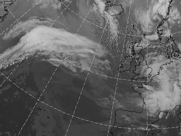
Does this actual case reflect the conceptual model well? Compare the ideal configuration!
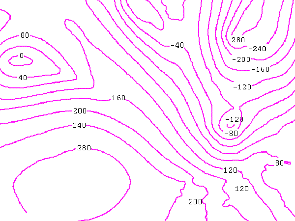
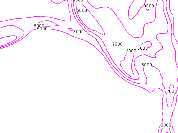
Height Contours 1000 hPa:
The center of the Low over the English Channel is, actually, more to the east, just south of London. The height values are also much lower in the center. In this case, the model could not follow the rapid developments.
The center of the Low over the English Channel is, actually, more to the east, just south of London. The height values are also much lower in the center. In this case, the model could not follow the rapid developments.
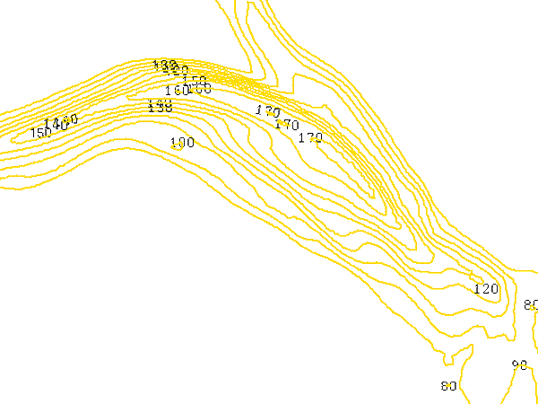
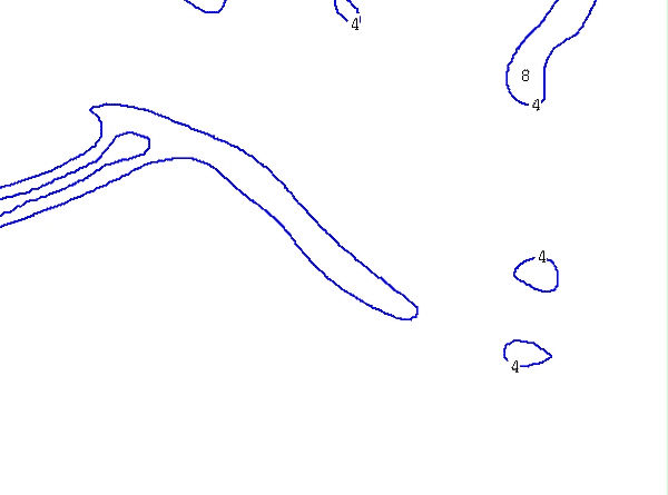
Isotachs 300 hPa:
The second Jet Streaks at the cold side of the Cloud Heads are not strong enough in both cases to reach the treshold of 60 kt and therefore not shown here.
The second Jet Streaks at the cold side of the Cloud Heads are not strong enough in both cases to reach the treshold of 60 kt and therefore not shown here.
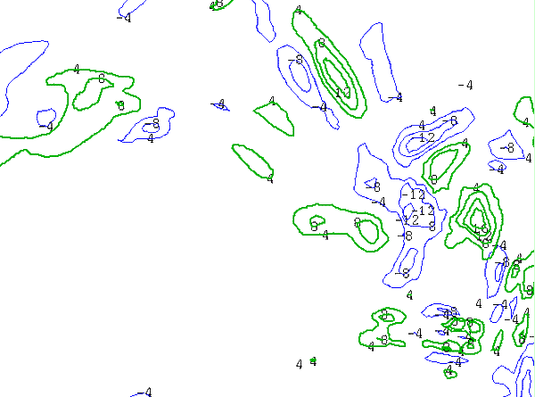
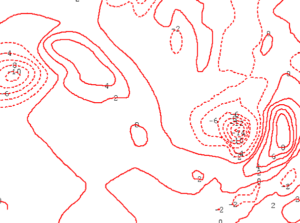
PVA 300 hPa:
The parameter fits reasonably well, although of course there are a lot of other PVA maxima in the image connected to other systems.
The parameter fits reasonably well, although of course there are a lot of other PVA maxima in the image connected to other systems.
Height of PV:
The PV anomaly in the English Channel case is too far to the west. This is probably a fase shift in the model.
The PV anomaly in the English Channel case is too far to the west. This is probably a fase shift in the model.
TFP:
Compared to the ideal situation, there is not much TFP in the Rapid Cyclogenesis area over the English Channel. This is due to the very rapid developments over there which the model (even in its analysis) probably could not follow.
Compared to the ideal situation, there is not much TFP in the Rapid Cyclogenesis area over the English Channel. This is due to the very rapid developments over there which the model (even in its analysis) probably could not follow.
Temperature Advection 500 hPa:
The model ouput showing temperature advection fits the situation quite well in this case.
The model ouput showing temperature advection fits the situation quite well in this case.