VIS gives a good impression of the strong vertical motions in Rapid Cyclogenesis area.
WV gives the best indication of Rapid Cyclogenesis development.
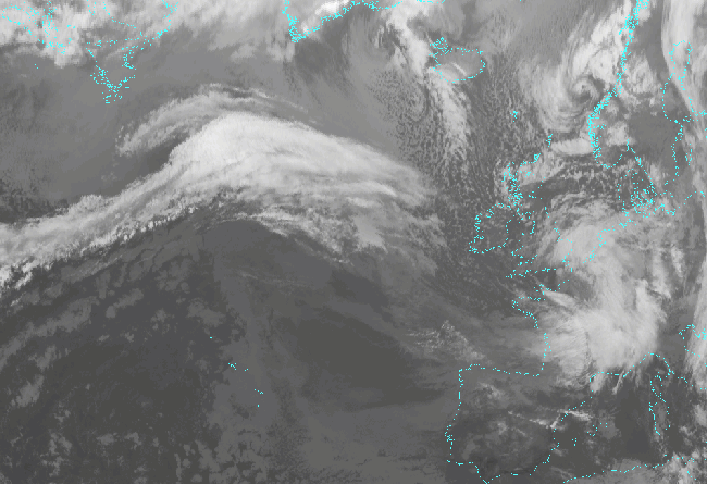
IR shows the area of the rapidly deepening surface low.
VIS IR WV