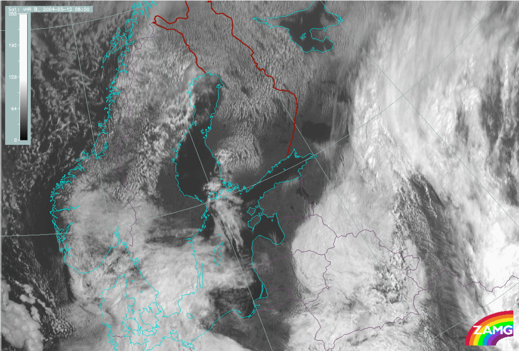
12 May 2004/08.00 UTC - Meteosat IR image
How can one recognise the Sea Breeze in a satellite image, or a loop of satellite images?
Which channels are possible to detect the Sea-Breeze?
What time of the day Sea-Breeze is starting?